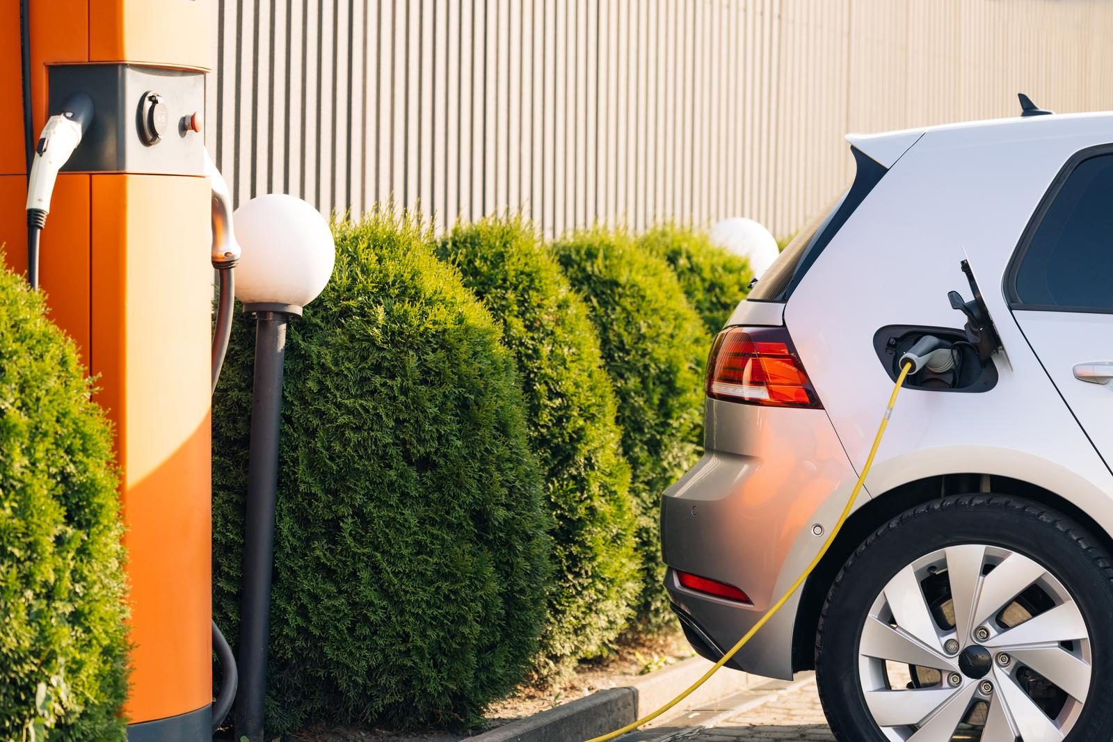
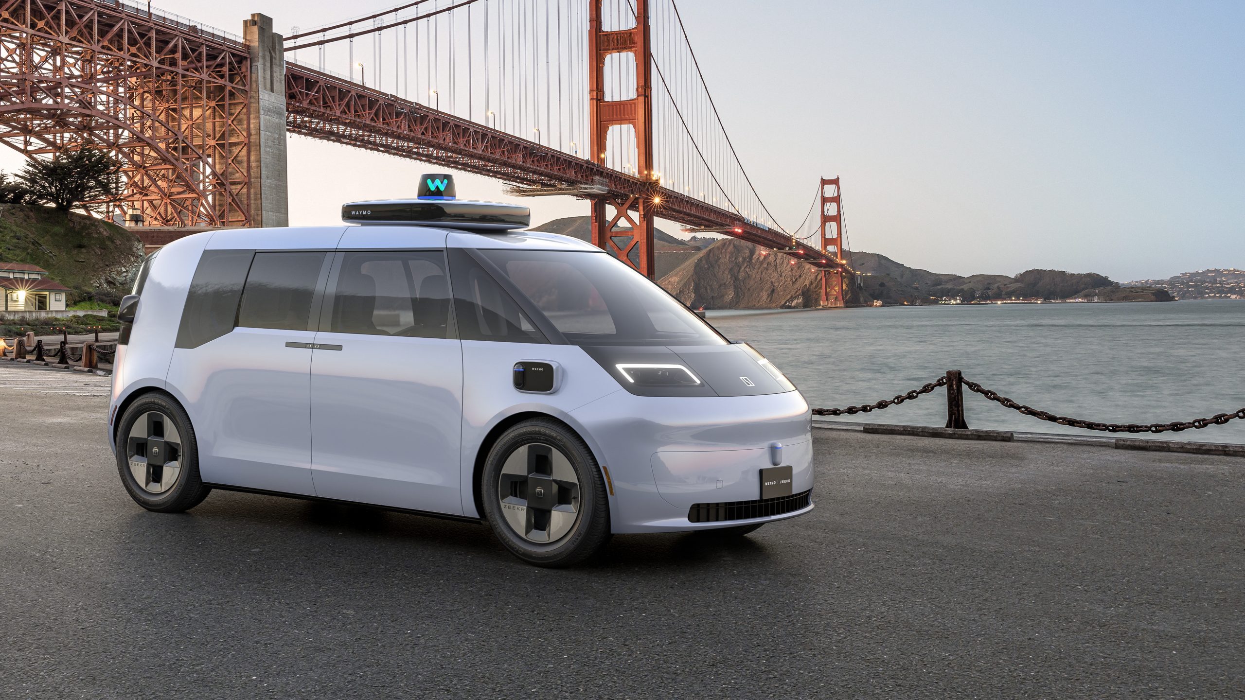
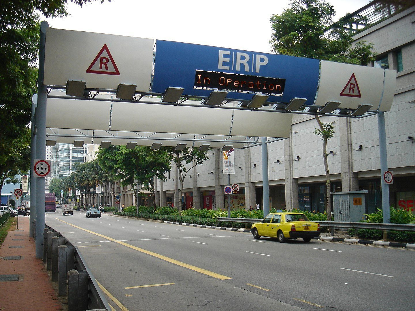
Google et la voiture connectée: Ptolemus sur 7PM TV
http://www.dailymotion.com/video/x2aywdz_voiture-connectee-mountain-view-vous-salue-bien_auto
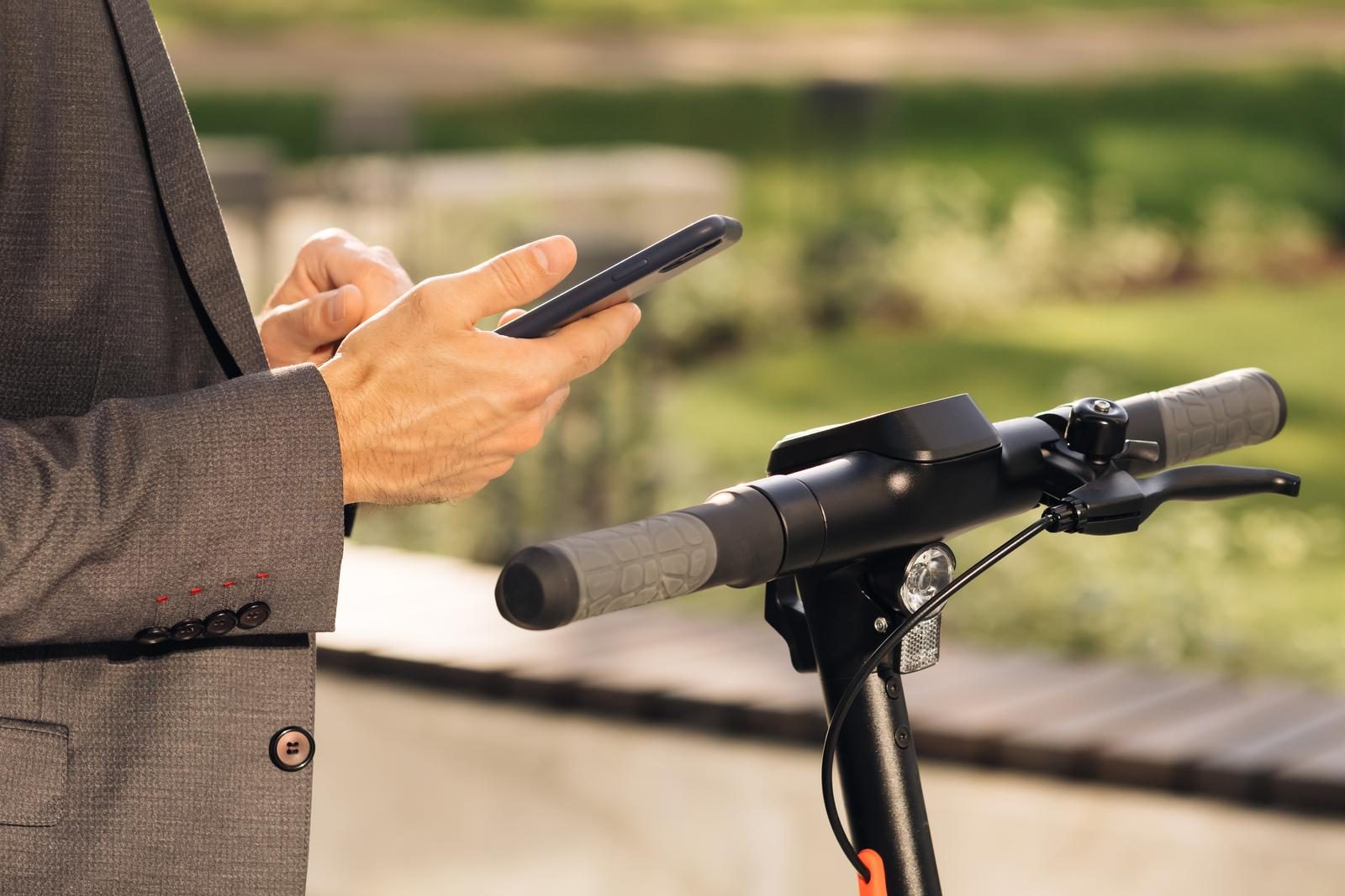
Frederic Lassara just joined PTOLEMUS as our expert on the connected[ ... ]
John Craig, Associate Partner, PTOLEMUS Consulting Group
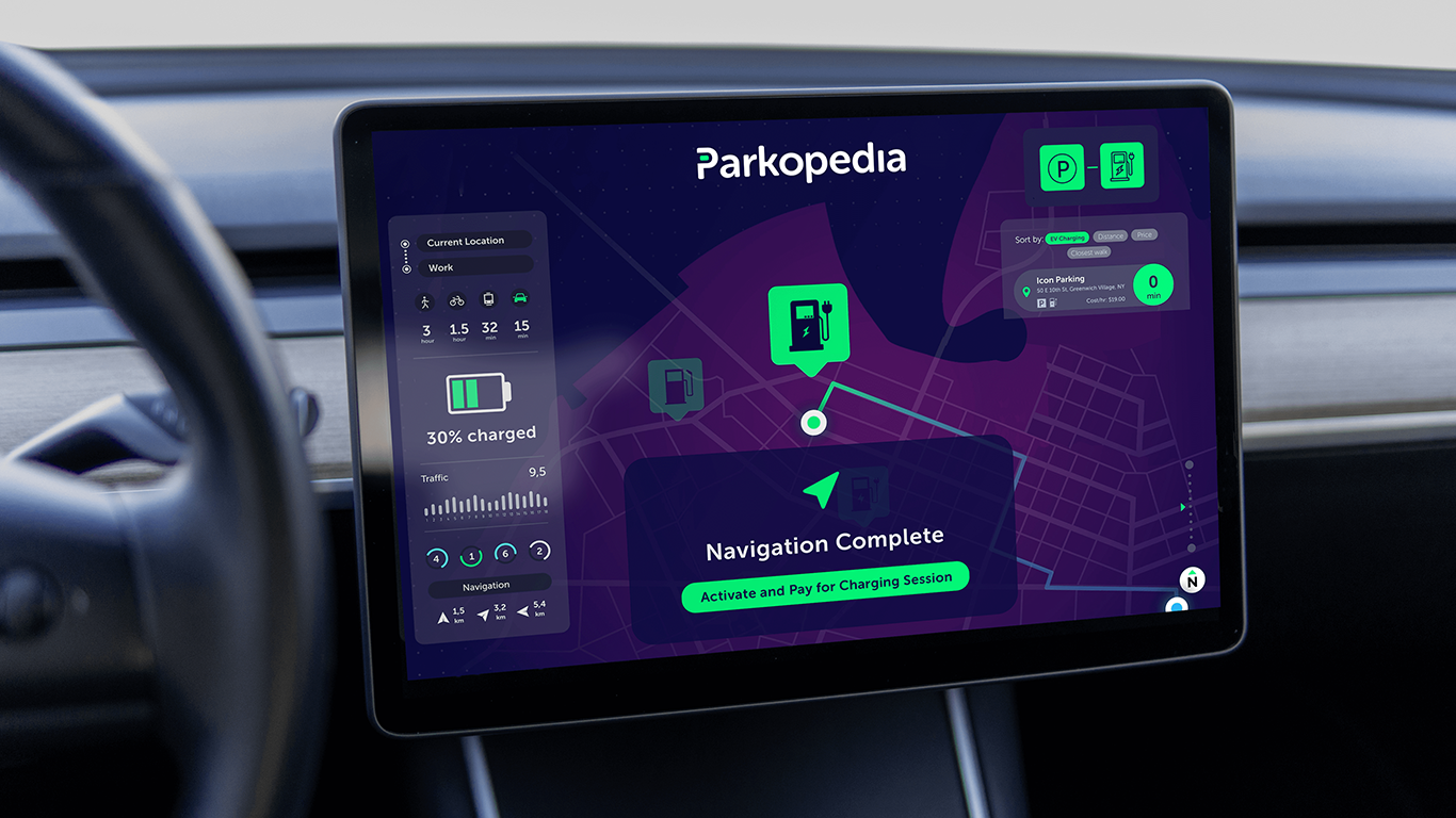
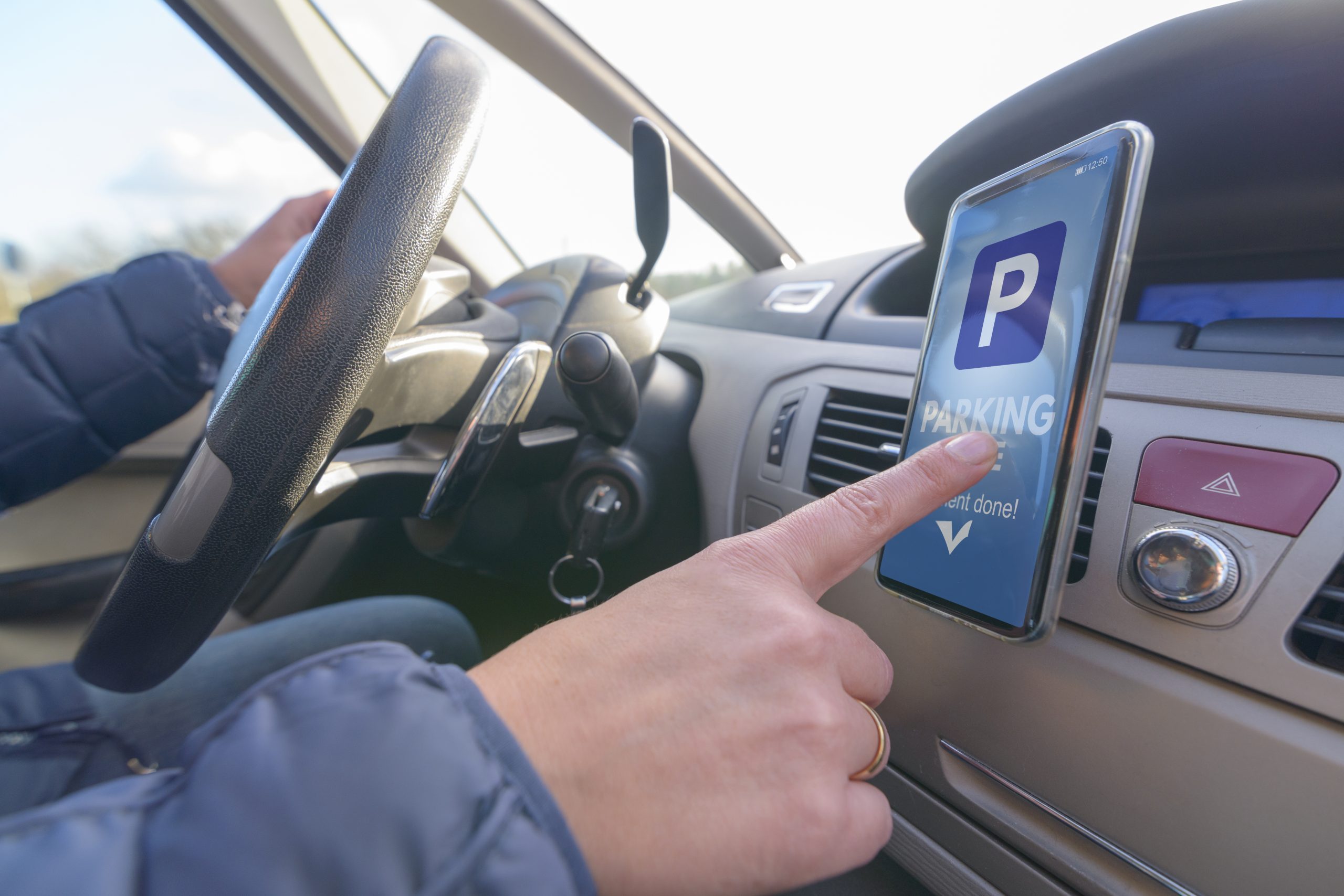
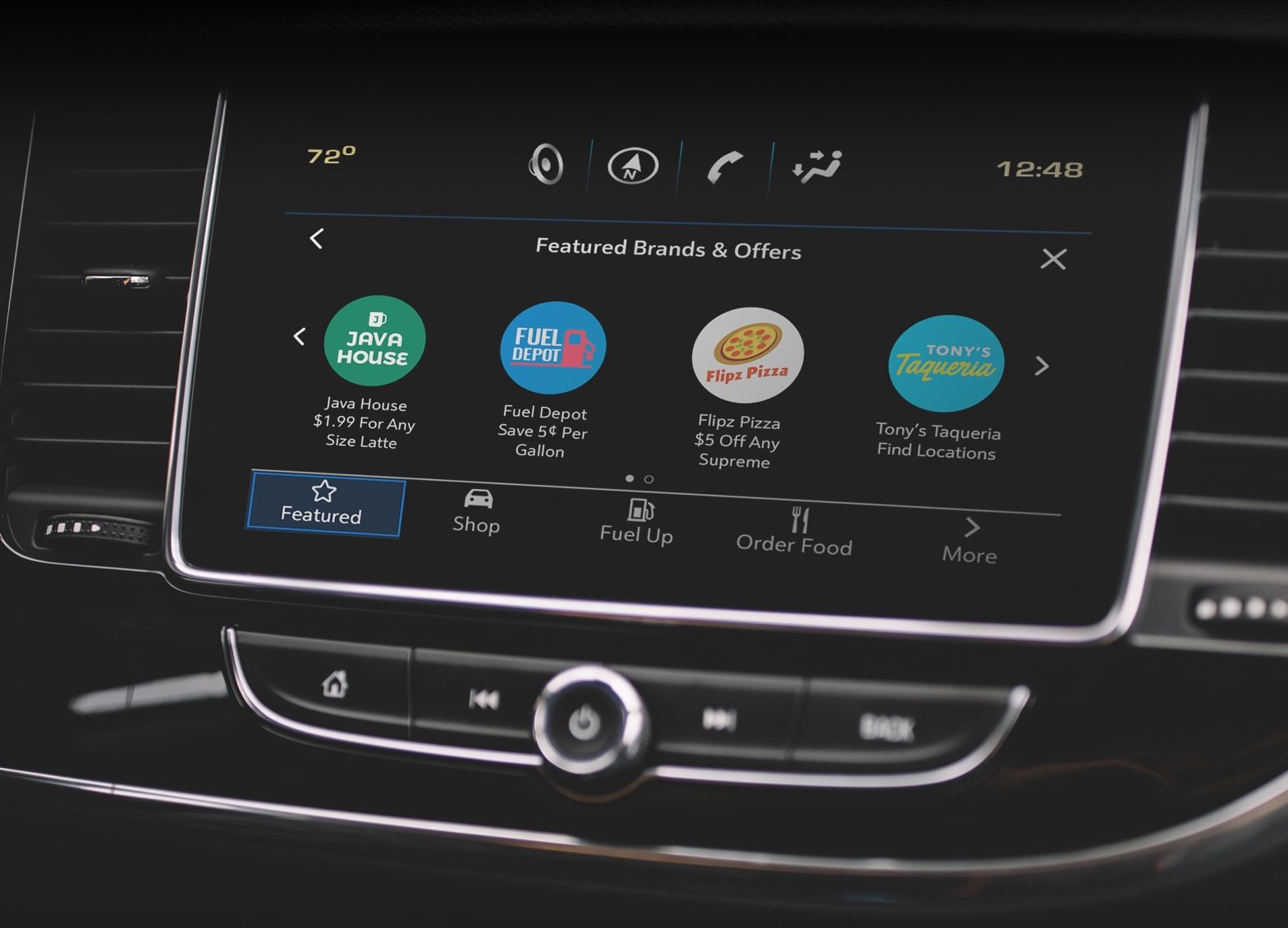
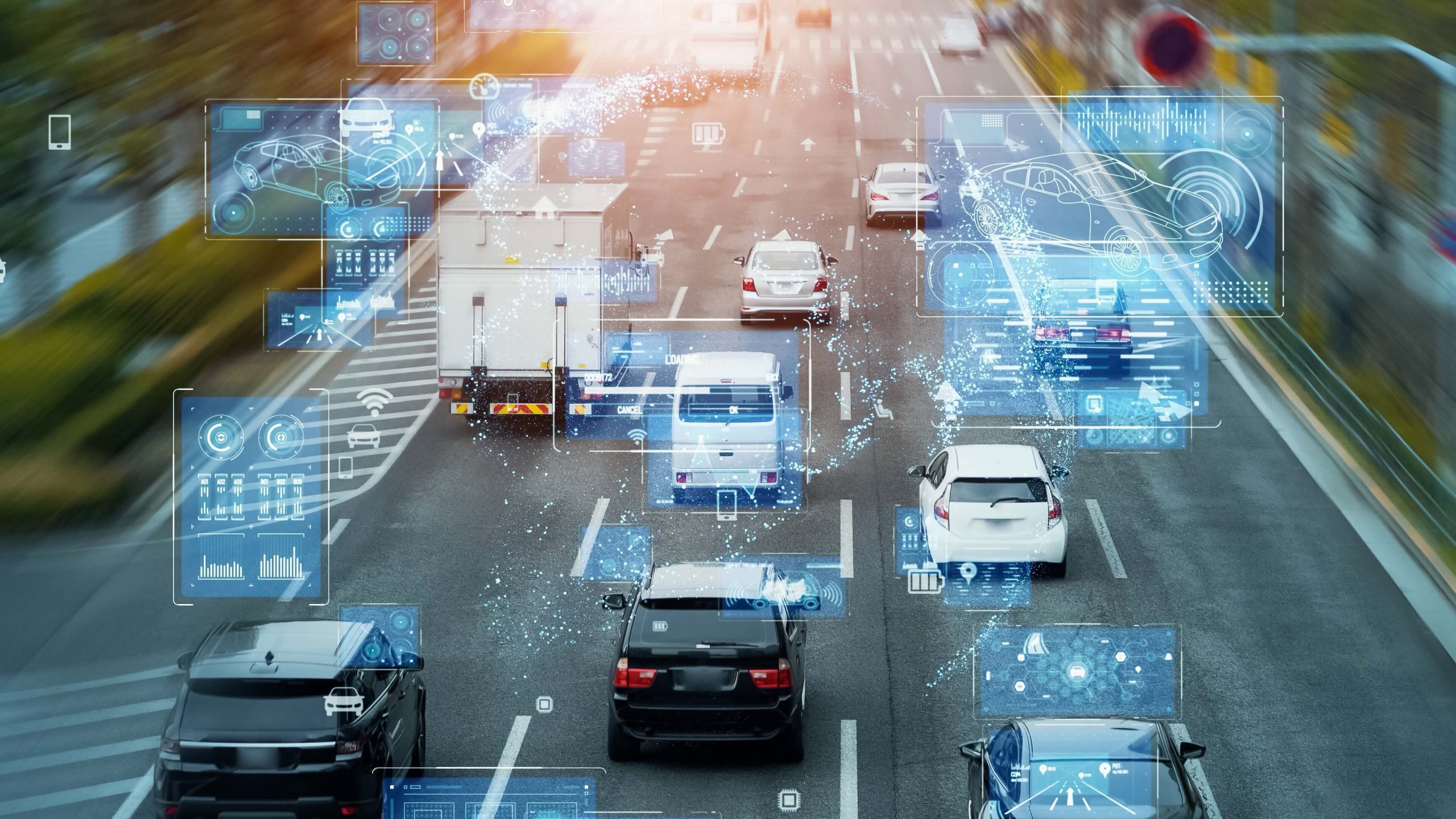
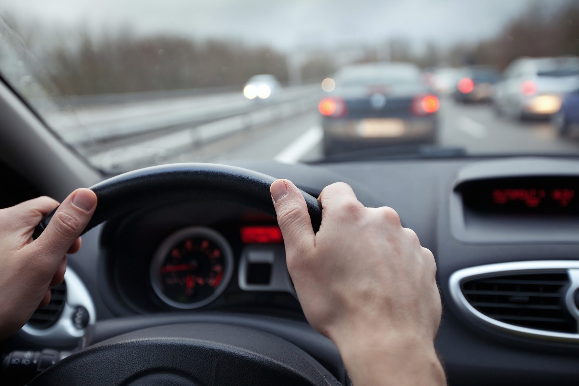
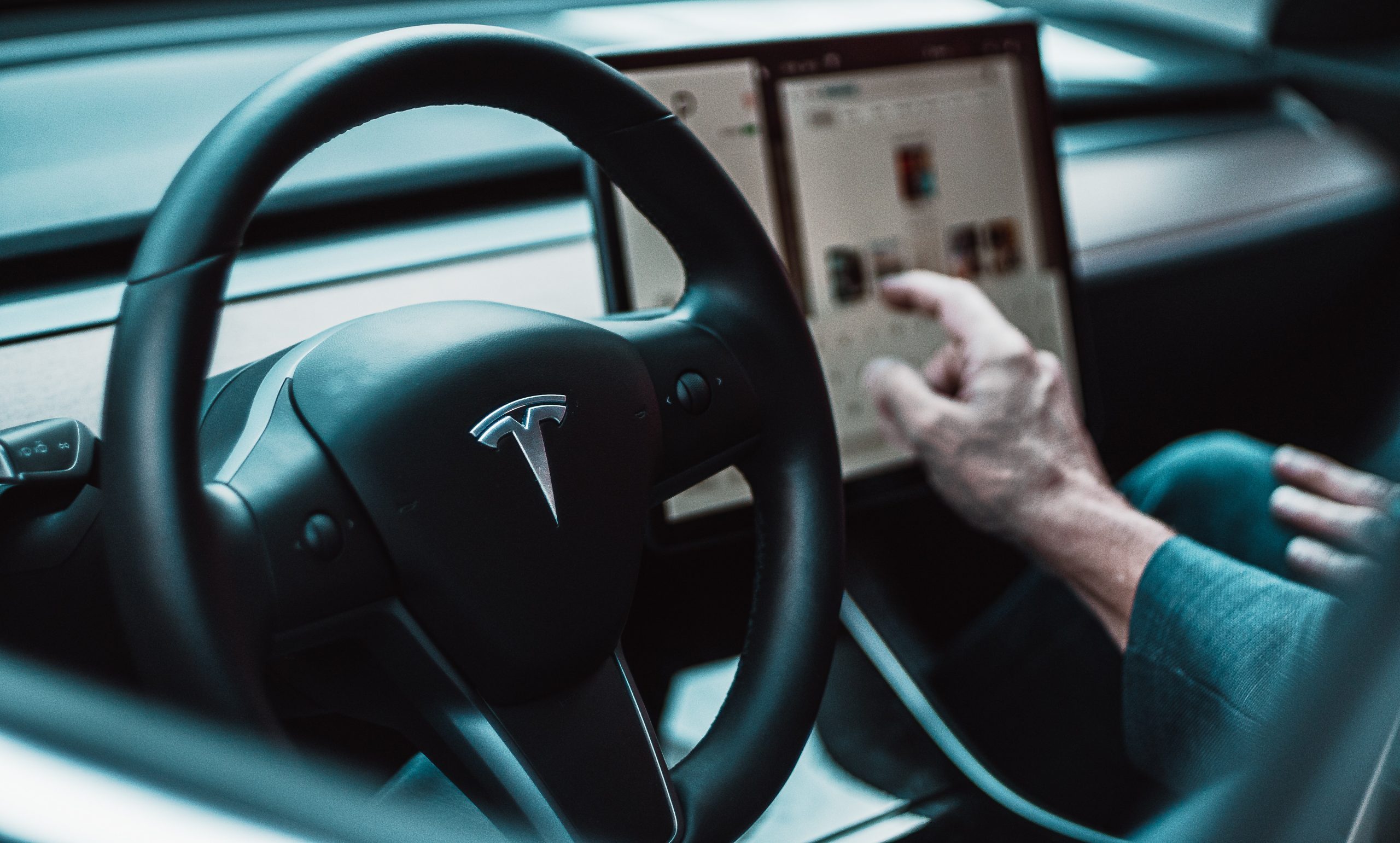
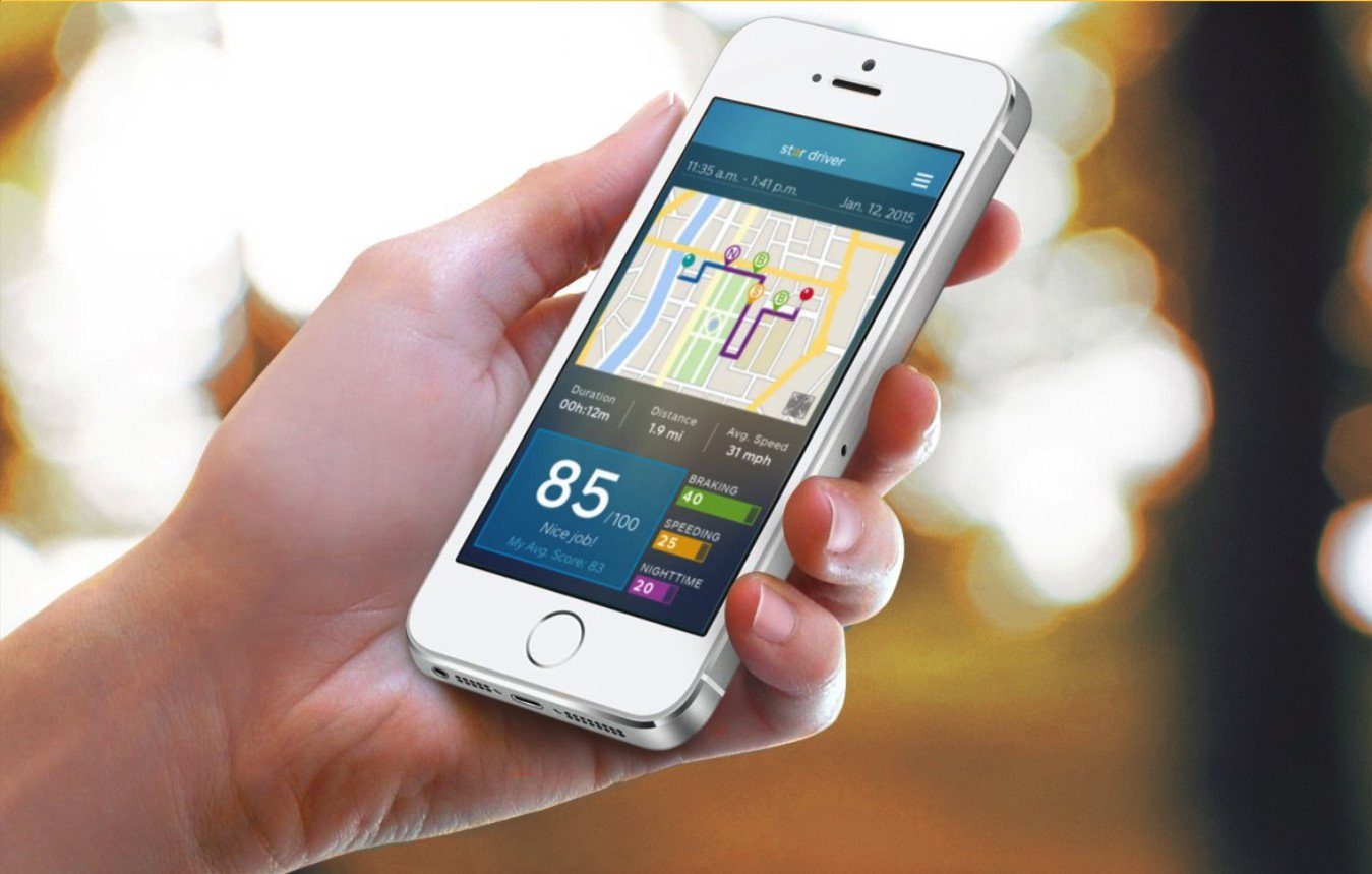
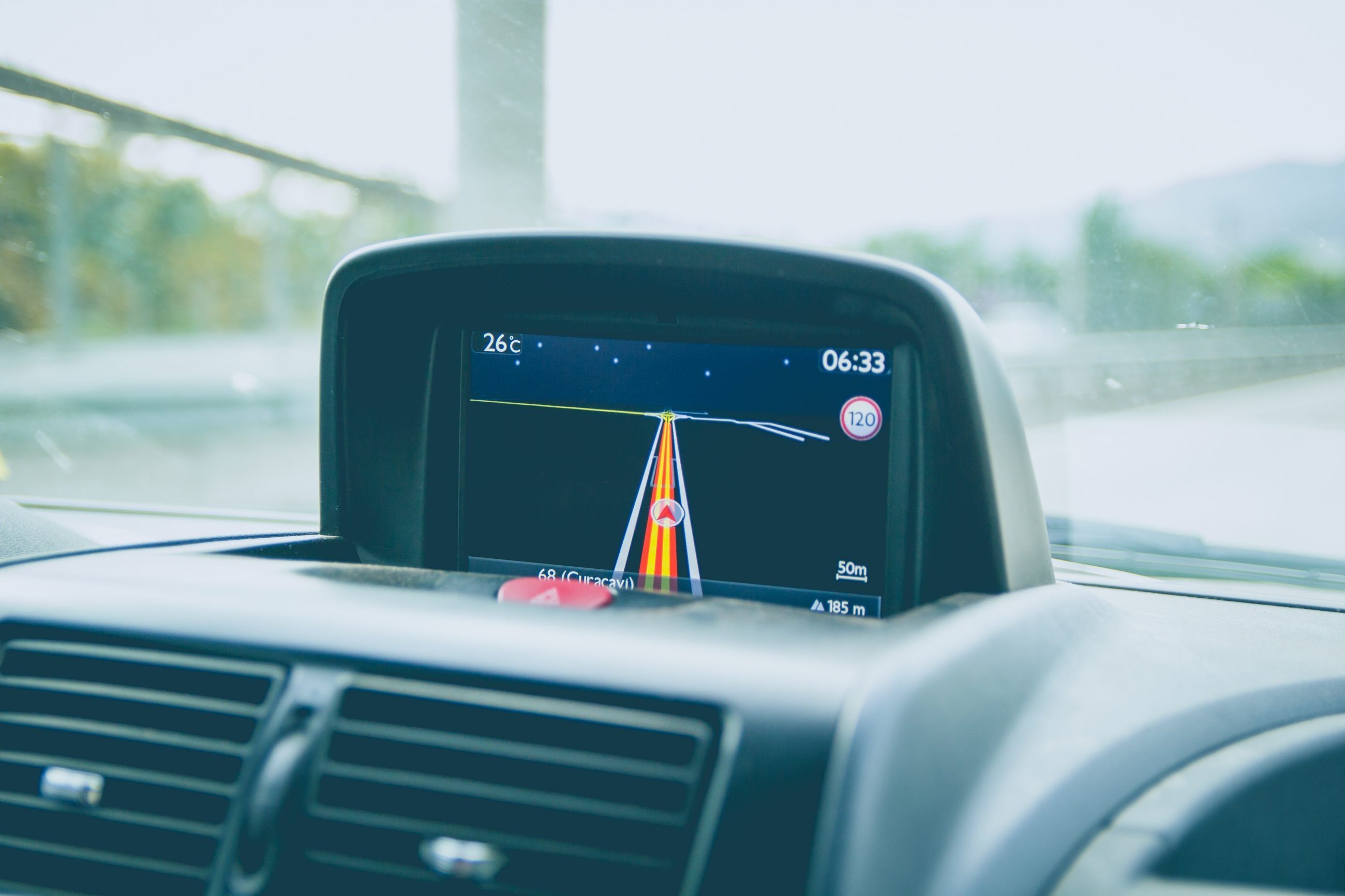
As Automotive OEM’s introduce increasingly sophisticated infotainment systems and smartphone[ ... ]
Google et la voiture connectée: Ptolemus sur 7PM TV
http://www.dailymotion.com/video/x2aywdz_voiture-connectee-mountain-view-vous-salue-bien_auto
Frederic Lassara just joined PTOLEMUS as our expert on the connected[ ... ]